The stretch of Main Street that angles northwest from Fountain Square once went by a different name: Turnpike Road. So did the stretch of Main Street running south from the square before climbing what is now Prospect Street, though it is not clear when the name was changed. When the road was first laid out in 1799 as part of the Third New Hampshire Turnpike, it was a bold promise of connection in a region where overland travel had long been difficult. Over time, as the toll company dissolved and the town took over maintenance (by 1819 it was a free road), the old turnpike gradually settled into village life under a new name. Yet the term “Turnpike Road” lingered well into the early twentieth-century; a 1915 Sanborn Fire Insurance map still labels it as such, a reminder of its origins.
From its earliest days, the turnpike was the spine of Walpole. In the late eighteenth-century, New Hampshire, like much of New England, looked to turnpikes as a way to knit distant communities together. The road that ran through Walpole became part of a vital north–south corridor along the Connecticut River Valley. It carried stagecoaches, mail, and freight; it funneled travelers toward river crossings at Westminster and Bellows Falls, and linked small farms to wider markets. For Walpole, the turnpike was more than a road. It was the artery that gave the village life.
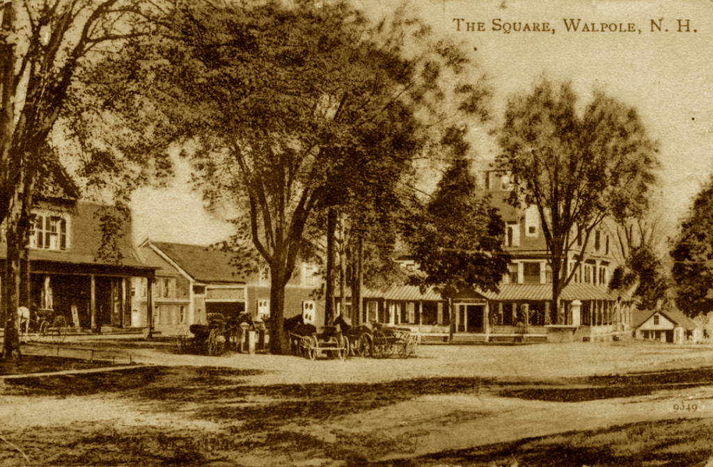
Life in Walpole soon oriented itself around this steady stream of movement. House lots appeared along the roadside, followed by the town’s earliest inns, taverns, and shops—places where travelers paused and neighbors gathered. As the years passed, the road drew to it the institutions that would define the community. Westminster Street, leading directly to the river crossing into Vermont, grew in tandem, and its importance helps explain why Walpole’s Town Hall and Common came to be there rather than on Main Street, contrary to the usual New England pattern. The meeting of Main and Westminster Streets formed the natural heart of the village, where paths, commerce, and civic institutions converged, and where Fountain Square would eventually crystallize the connection between architecture, public life and community identity.
Even after the toll era faded and the name “Main Street” took hold, the character of the road changed very little. It remained the village’s principal corridor, lined with markets, general stores, and professional offices. Residents gathered here at churches, on the Common, or simply in front of shop windows, and nearly all civic life radiated from this central crossroads. The roads that once carried stagecoaches now carry automobiles and the rhythms of the town.
Elsewhere in New England, many original turnpikes were transformed into highways, often eroding the character of the towns they passed through. Walpole was an exception. When Route 12 was built in the 1920s, residents ensured the highway bypassed the central business district, preserving the historic scale, character and civic rhythms of Main Street. Preservation was a long-term goal, for an article in the Keene Evening Sentinel of 27 November 1957 (“Area Construction Projects Near Completion”) noted that “Long-range plans call for a by-pass route west of Walpole village …”. Today, Main Street remains the village’s backbone: home to landmark businesses, the focus of community life, and a steward of a historic character that has endured generations of change. Walking it now, one can still sense a continuity of movement: the same alignment of road, village, and landscape experienced by travelers more than two centuries ago.
